http://www.webpages.uidaho.edu/niatt_labmanual/Chapters/roadwaydesign/theoryandconcepts/SurveysAndMaps.htm
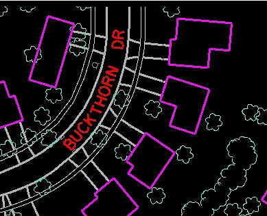
Planimetric maps only show the horizontal position of features on Earth's surface. Planimetric maps omit elevation, roads, buildings, and bodies of water. These maps digitally captures cultural and natural features and is useful for a variety of engineering, planning, and GIS applications.
No comments:
Post a Comment