http://giscommons.org/output/
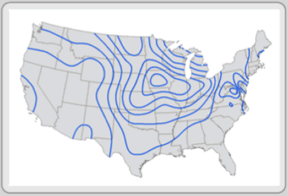
Isolines maps use contour lines to reference differences across a continuous surface. Isolines' most common application is everyday on the weather channel. Isolines are used show high and low pressure systems and the fronts associated with them. This map shows the isolines across the United States.
No comments:
Post a Comment